How to Test GPS Location Accuracy on a Construction Site
A practical way to compare a tracker’s reported position with an independent reference, while keeping site conditions and timestamps understandable.
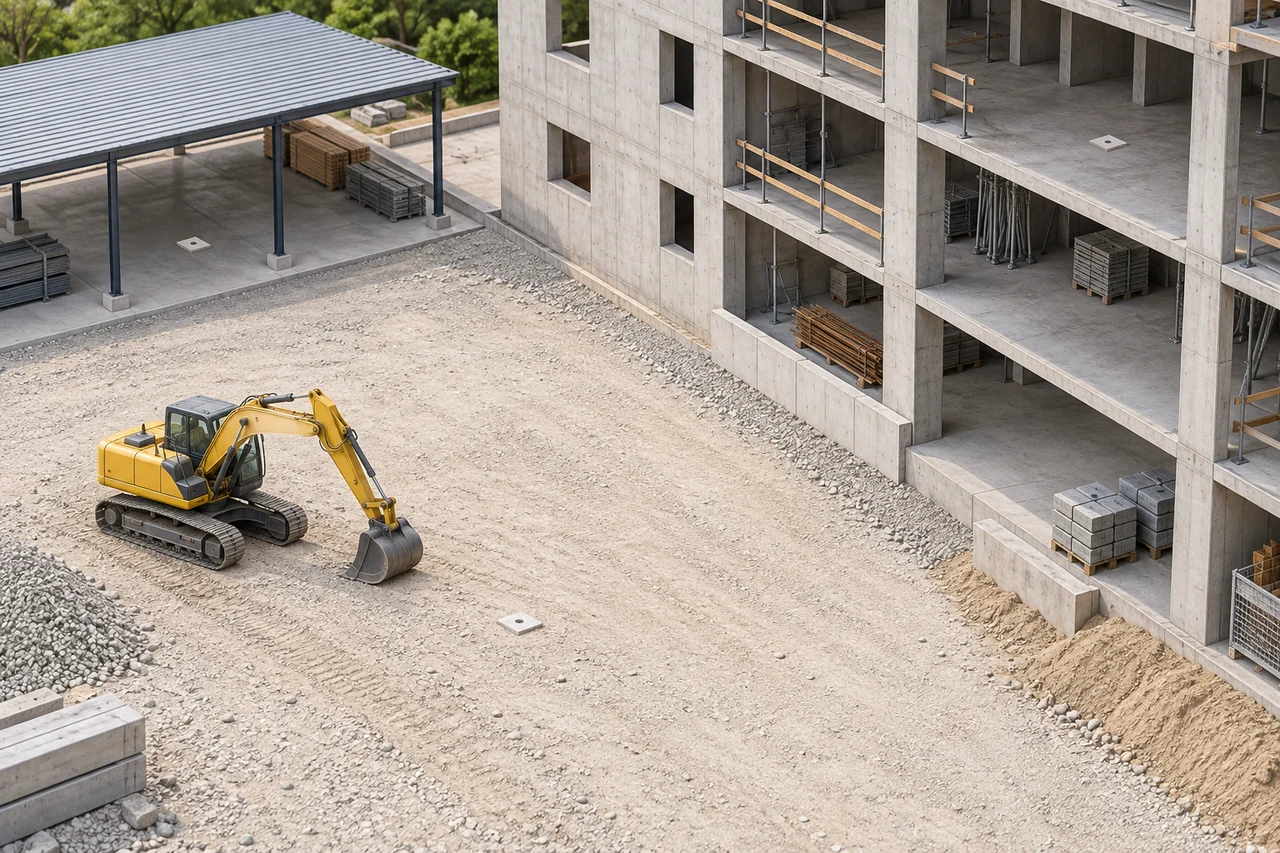
Illustration generated for this article; it does not show a customer, device or field test.
On this page
- Use an independently established reference for each site condition.
- Keep position fix, device transmit, platform receipt and displayed time separate.
- Repeat under recorded conditions; leave unsupported results unavailable.
Imagine a site manager checking an excavator before the next shift. The map shows a position near a building, but the team does not know whether the difference comes from the receiver, the reference point, the site conditions or a delay in the data path. A useful check starts by recording those pieces separately. This article describes a method; it reports no device reading or customer result.
Define what the comparison is asking
Accuracy means closeness to an independently established reference. Repeatability means how consistently repeated observations agree at the same point under the same condition. They are related, but they answer different questions. A construction-site comparison should not turn a convenient map pin or a supplier’s nominal specification into field truth.
GPS.gov explains that geometry, blockage, atmosphere and receiver design affect user accuracy. Buildings and reflected signals can make one site position harder to interpret. A u-blox application note likewise recommends defined outdoor static conditions and good sky visibility for GNSS design checks. These sources guide the method; they do not provide a performance result for a particular tracker.
Give each site condition its own reference
Use one independently established reference-point record for each condition. Do not reuse an open-sky coordinate as the ground truth for a different point beside a building or under cover. Before collecting a device position, record the following for that condition:
| Condition | Reference record | Observation discipline |
|---|---|---|
| Open sky | Point ID, coordinates, CRS/datum, reference method, capture time, declared accuracy or estimated uncertainty, and limitations. | Mark the antenna observation point and any confirmed installation offset. Repeat at the same point. |
| Beside a building | A separately established reference for this location, with the same CRS/datum, method, uncertainty and limitations. | Keep the mounting and orientation constant for the repeats. Record the building face and obstruction that matter. |
| Parked or covered | Its own reference-point record and uncertainty. If the reference is insufficient for a numerical claim, mark the result unavailable for that claim. | Record cover, parked state, antenna point and what changed between repeats. |
The reference uncertainty limits the claim. A device result should not be reported more finely than the independent reference supports. Preserve the raw coordinates and method even when the final result is only a bounded comparison.
Record four time events
Time fields describe different events and should remain separate in the observation block:
- Position fix: when the receiver calculated the position.
- Device message creation, transmit or upload: record it when the payload or device log exposes it; otherwise leave the field unavailable.
- Platform receipt or ingest: when the receiving system accepted the message.
- UI displayed timestamp: what the interface shows and what that label means.
Only synchronized clocks with matching event semantics support delay arithmetic. If the device transmit event is unavailable, do not substitute platform receipt time. A displayed time may be a fix time, receipt time or another application field; confirm its meaning before interpreting it.
Run the same-condition observations
For each condition, mount the device at the recorded antenna observation point and hold the configuration constant. Mark the reference point, record the site state, collect the raw reported position and copy every available timestamp. Repeat at that same point within that condition. If the machine moves, wakes from a different state, changes orientation, loses connectivity or encounters a changed obstruction, record the change and treat it as a retest condition rather than silently combining rows.
For a practical horizontal comparison, have the installer or surveyor verify both coordinate systems and units, along with the antenna observation point and any confirmed installation offset. Use a suitable measurement or GIS tool to report the horizontal separation in metres, then record the method and reference uncertainty; do not subtract latitude or longitude degrees as if they were metres. Leave the result blank until the observation exists, preserving the raw observations for later analysis.
Interpret the record
Compare each observation with its own reference first, then compare conditions. A larger difference beside a building may indicate a changed signal environment, but the record still needs its reference quality, obstruction, antenna point and timestamps to support that interpretation. Consistent repeated offsets can be repeatable without being accurate; scattered observations can be accurate on average without being repeatable at the same point.
Set the acceptance condition before the real test. The right question may concern a geofence, a machine’s last known area, dispatch visibility or another operational use. This method does not set one universal metre threshold and does not rank products.
When to retest or stop the comparison
- The reference method, CRS/datum or uncertainty is missing.
- The antenna observation point or installation offset is unknown.
- The fix time is absent or the four clock meanings are mixed.
- The same-condition state changed without being recorded.
- The reference cannot support the precision of the proposed numerical claim.
When one of these occurs, preserve the raw record and label the result unavailable or bounded. That is more useful than a precise-looking number whose reference and event meaning cannot be reproduced.
Official sources
- GPS.gov: GPS Accuracy — general factors affecting user accuracy.
- u-blox UBX-15030289 application note — antenna visibility and defined static testing guidance.
- Septentrio: RTK positioning — RTK-specific context on obstruction, multipath and correction data.
These sources provide context for test design. They do not verify a LEXUNYU model, a construction customer, a field reading or a certification.
Frequently asked questions
Can a phone map pin be the reference point?
A phone map pin is convenient for orientation, but it is not automatically an independently established reference. Record the reference method, coordinate system, uncertainty and limitations before comparing a device position.
Why keep four timestamps separate?
A position fix, device message transmit time, platform receipt time and UI display time describe different events. Only synchronized clocks with matching event meanings support a delay calculation; an unavailable device transmit time stays unavailable.
How many metres should a construction tracker achieve?
There is no universal construction-site threshold in this method. Agree the acceptance condition for the use case and make sure the reference uncertainty is sufficient for the precision of any numerical claim.